The latest Union Budget introduces a new scheme to digitise land records across India. As Finance Minister Nirmala Sitharaman suggested, this scheme includes assigning a unique identification number to agricultural land, implementing new identification numbers for rural areas and GIS mapping for the country’s urban areas. The programme launched in Maharashtra has proved effective and is set to expand nationwide. The Union Finance Minister charted the following road map for 100% digitisation of rural land records and a unique identification number of land known as ‘Bhu-Aadhaar’. These measures form part of a broader set of land-related reforms included in the Budget.
To implement these reforms, the Central Government will collaborate with the states, as these are revenue-sharing measures. The Central Government will also offer substantial financial incentives to ensure the digitisation of the revenue systems within the next three years. This will include the provision and establishment of the Unique Land Parcel Identification Number (ULPIN) or Bhu-Aadhaar for all land parcels, digitising cadastral maps, surveying map subdivisions based on existing ownership, establishing comprehensive land records, and linking it to the farmers’ records. In urban areas, as Finance Minister Sitharaman stated, the government will undertake a geographical informatics system to digitise land records. Furthermore, an IT-based system for record management, upgradation and taxes for urban local bodies to enhance the financial position of the local bodies will also be part of the scheme.
Experts in the real estate industry have welcomed the initiative, highlighting its potential to enhance documentation and provide critical land details to flat owners and landowners. The digitisation of land records with GIS mapping could boost home-buyer confidence and foster greater transparency in the residential real estate sector. Challenges such as limited land availability, outdated records, and multiple stakeholder involvement compound the complexity of land governance in Indian cities. Given the rapid pace of urban population growth, efficient, transparent, and accurate land management is crucial for sustainable urban development.
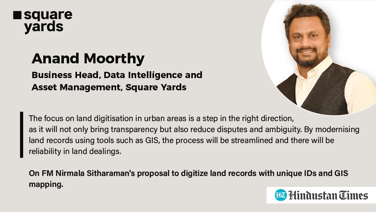
Anand Moorthy, Business Head of Data Intelligence and Asset Management at Square Yards, emphasised the importance of this initiative: “Focus on land digitisation in urban areas is a step in the right direction. It will bring transparency, reduce disputes and ambiguity, and by modernising land records using tools like GIS, the process will be streamlined, ensuring reliability in land dealings.”
The Budget has allocated ₹10 lakh crore for the development of 30 million additional houses under the Pradhan Mantri Awas Yojana, aimed at boosting construction activity and affordable housing in both urban and rural areas. This allocation addresses the housing needs of 10 million urban poor and middle-class families, promising substantial improvements in living standards and urban development. The proposed land record digitisation initiative also marks a significant step towards modernising land governance in India. By enhancing transparency and reliability promises to resolve longstanding issues in land management, benefiting all stakeholders in the real estate sector.”
For a detailed report on this read the articles we were featured in:
hindustantimes – https://bit.ly/3YilnBn
Published Date: 24 July, 2024


