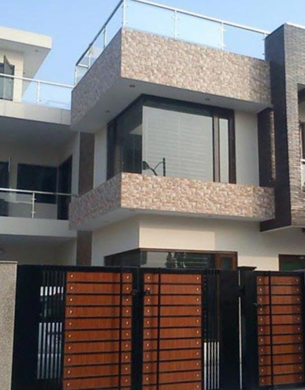
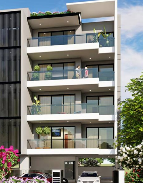
The Eastern Hyderabad comprises locations such as Uppal, Nacharam, Mallapur, Kapra, Cherlapalle, Pocharam, Kuntloor, LB Nagar and Kothapet. Nearly 10% of the total units under construction fall in this zone. Uppal remains one of the favoured destinations in this micro-market. Phase II of the ORR, which is under construction will improve the traffic situation and connectivity in the eastern zone. Uppal Kalan, popularly known as Uppal is one of the fastest growing localities of East Hyderabad. It is located strategically on National Highway 202 (NH 202) and the northern banks of the river Musi. The Hyderabad Metro Rail Line 3 covering a distance of 26.51 km, running from Nagole to Shilparamam will connect Uppal to other localities in Hyderabad In recent times, East Hyderabad has been popular with home buyers because many of the Information Technology (IT) companies are head quartered here. Another reason why this locality has become sought after is because of the Lanco Hills project. This project includes several dozen towns comprising of residential, commercial as well as an IT special economic zone (SEZ). Another big project in this area is the Chitrapuri Colony which is a planned layout for Telegu cinema workers. The area’s infrastructure, shopping centers, multiplexes and entertainment spots are growing rapidly in and around this area. It is very close to Outer Ring Road which connects to the International airport. Shilparamam, Inorbit mall, restaurants, hotels and hangout spots are present within reach.
Schools Near by East Zone | |
---|---|
![]() |
0.29 KM |
![]() |
0.48 KM |
![]() |
0.53 KM |
![]() |
0.54 KM |
![]() |
0.73 KM |
![]() |
0.74 KM |
![]() |
0.75 KM |
![]() |
0.78 KM |
![]() |
0.83 KM |
![]() |
0.87 KM |
Bus Stops Near by East Zone | |
---|---|
![]() |
0.58 KM |
![]() |
0.68 KM |
![]() |
0.70 KM |
![]() |
0.70 KM |
![]() |
0.72 KM |
![]() |
0.74 KM |
![]() |
0.84 KM |
![]() |
0.89 KM |
![]() |
1.05 KM |
![]() |
1.09 KM |
Hospitals Near by East Zone | |
---|---|
![]() |
0.57 KM |
![]() |
0.60 KM |
![]() |
0.63 KM |
![]() |
0.67 KM |
![]() |
0.70 KM |
![]() |
0.70 KM |
![]() |
0.70 KM |
![]() |
0.75 KM |
![]() |
0.89 KM |
![]() |
0.92 KM |
Colleges and Universities Near by East Zone | |
---|---|
![]() |
0.72 KM |
![]() |
0.76 KM |
![]() |
1.03 KM |
![]() |
1.10 KM |
![]() |
1.22 KM |
![]() |
1.29 KM |
![]() |
1.54 KM |
![]() |
1.55 KM |
![]() |
1.74 KM |
![]() |
1.93 KM |
Clinics Near by East Zone | |
---|---|
![]() |
0.34 KM |
![]() |
0.37 KM |
![]() |
0.45 KM |
![]() |
0.58 KM |
![]() |
0.59 KM |
![]() |
0.64 KM |
![]() |
0.66 KM |
![]() |
0.67 KM |
![]() |
0.71 KM |
![]() |
0.84 KM |
Gym Fitness Near by East Zone | |
---|---|
![]() |
0.63 KM |
![]() |
0.64 KM |
![]() |
0.70 KM |
![]() |
0.75 KM |
![]() |
0.82 KM |
![]() |
0.87 KM |
![]() |
0.92 KM |
![]() |
0.99 KM |
![]() |
1.08 KM |
![]() |
1.61 KM |
Temples Near by East Zone | |
---|---|
![]() |
0.29 KM |
![]() |
0.47 KM |
![]() |
0.52 KM |
![]() |
0.63 KM |
![]() |
0.81 KM |
![]() |
1.46 KM |
![]() |
1.85 KM |
![]() |
1.85 KM |
![]() |
1.95 KM |
![]() |
2.21 KM |
Supermarkets Near by East Zone | |
---|---|
![]() |
0.22 KM |
![]() |
0.69 KM |
![]() |
0.83 KM |
![]() |
0.94 KM |
![]() |
0.99 KM |
![]() |
2.06 KM |
![]() |
2.94 KM |
![]() |
3.09 KM |
![]() |
3.31 KM |
![]() |
3.44 KM |
Restaurants Near by East Zone | |
---|---|
![]() |
2.83 KM |
![]() |
3.21 KM |
![]() |
4.17 KM |
![]() |
4.31 KM |
![]() |
4.62 KM |
![]() |
4.99 KM |
![]() |
4.99 KM |
![]() |
5.02 KM |
![]() |
5.03 KM |
![]() |
5.20 KM |
Mosques Near by East Zone | |
---|---|
![]() |
0.72 KM |
![]() |
0.75 KM |
![]() |
3.50 KM |
![]() |
3.62 KM |
![]() |
3.69 KM |
![]() |
3.88 KM |
![]() |
4.71 KM |
![]() |
7.58 KM |
![]() |
8.09 KM |
![]() |
8.23 KM |